Photo Gallery
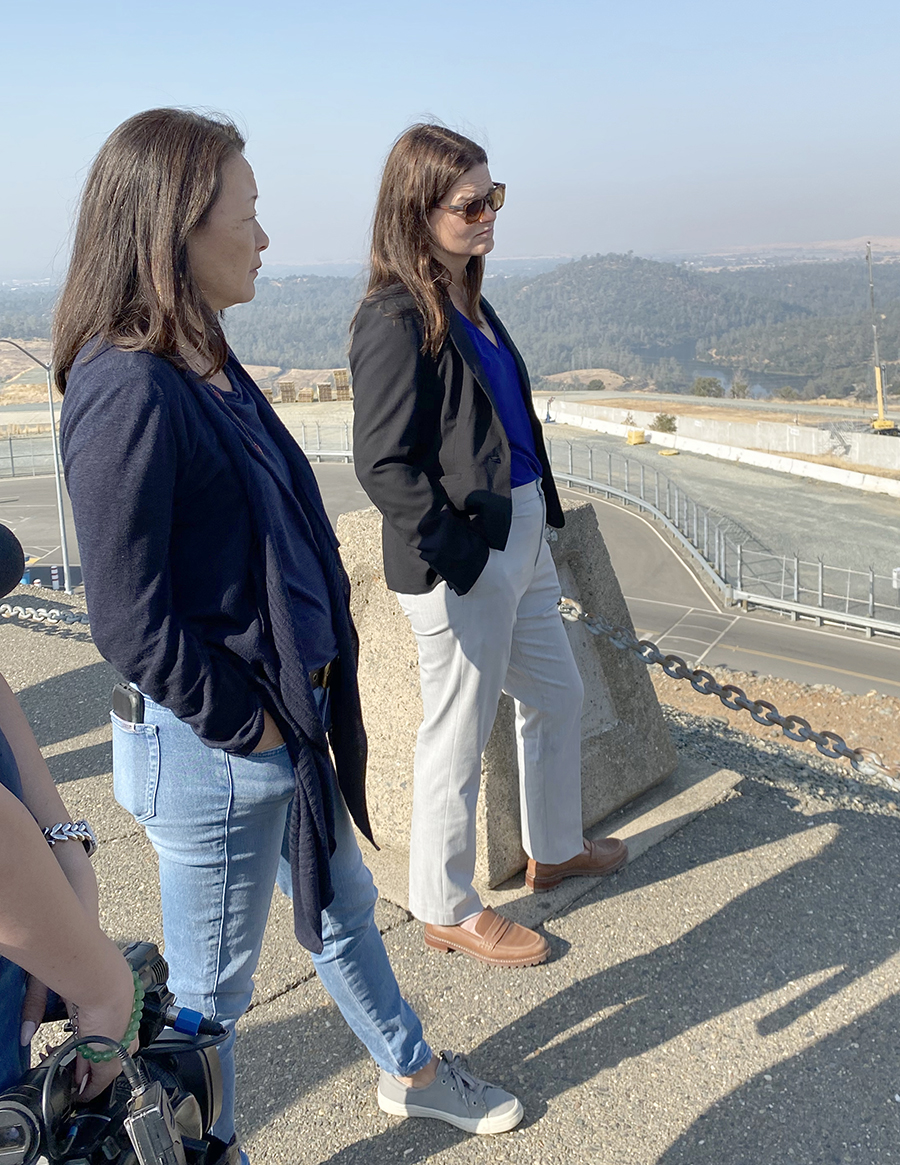
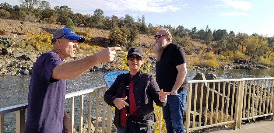
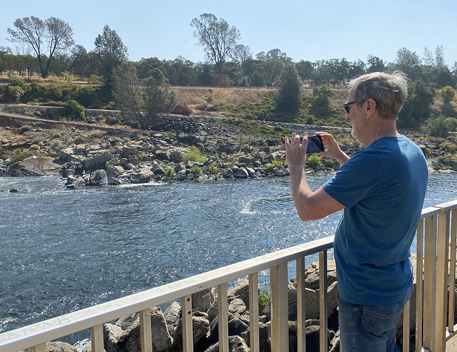
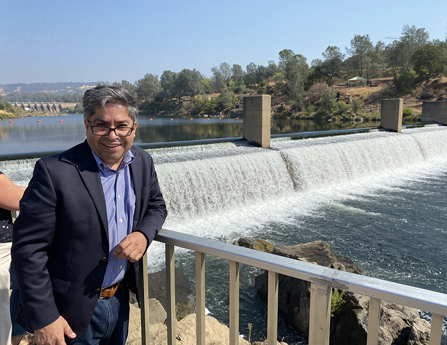
California Water Commission members Teresa Alvarado and Matthew Swanson stand on the Oroville Dam Spillway Overlook on November 22, 2019, during their site visit of the newly repaired spillway, the Hyatt Powerplant, and the Feather River Fish Hatchery. At 770 feet, the Oroville Dam is the tallest earth-filled dam in the United States.
Oroville Dam stands tall
In April 2019 water flowed down the newly reconstructed Oroville Spillway, a little more than two years after erosion damage forced its temporary closure. The two newest members of the California Water Commission, Teresa Alvarado and Matthew Swanson, stood on the spillway overlook recently and heard firsthand accounts from February 2017, when the Department of Water Resources mobilized a coordinated emergency response effort with local, state and federal partners, including the Butte County Sheriff’s Department, the Federal Energy Regulatory Commission, the Division of Safety of Dams, and the Governor’s Office of Emergency Services.
“The way the State of California came together to repair that spillway is unbelievable and to me unprecedented,” said Commissioner Swanson. “When you stand up there and see the scale and scope and hear the story, it’s just unbelievable. Nothing but kudos for what they accomplished."
Lake Oroville is the State Water Project’s largest reservoir, with 750,000 acre-feet of flood control storage, recreation, and freshwater releases to the Sacramento-San Joaquin Delta via the Feather River. The Oroville Dam, at 770-feet, is the tallest earth-fill dam in the United States. The spillway reconstruction numbers are astounding: 700-plus workers put in more than 1.5 million hours working in round-the-clock shifts over the course of two construction seasons. Eighty-three percent of the 503 craft workers working on the project were from Northern California, including Butte County and Oroville. Six hundred twelve new erosion-resistant concrete slabs and 204 new concrete wall placements were reconstructed on the main spillway with both the main and emergency spillways using more than 1.2 million cubic yards of roller-compacted, leveling and erosion-resistant structural concrete.
“I was absolutely blown away by the rapid response of the agencies to effectively repair the Oroville Dam spillway in such an expedited fashion,” said Commissioner Alvarado. “It really shows that we can address major infrastructure issues in a coordinated and rapid fashion."
In addition to learning about the spillway, the Commissioners also visited the Edward Hyatt Powerplant, an underground, hydroelectric pumping-generating facility, and the Feather River Fish Hatchery, which was constructed as part of the Oroville Dam complex to mitigate the loss of salmon and steelhead spawning due to the dam’s construction.
Water Commissioners follow monthly meeting with field trip to floodplain
Slow it, spread it, sink it, stew it.
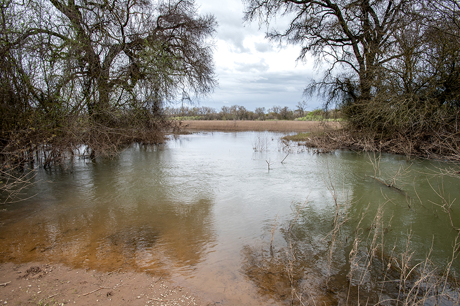
That’s the concept behind the floodplain restoration project located alongside a stretch of the Cosumnes River near Galt, Calif. It’s the river that’s being slowed down and spread out, thanks to the removal of some key sections of levees. Now, a formerly flood-prone parcel of land is a thriving riparian habitat that also recharges the groundwater.
“Slowing the river down gives it the opportunity to infiltrate the aquifer,” said Carson Jeffres, field and lab director for the Center for Watershed Sciences, University of California, Davis. “When you slow it down and spread it out it has the time to make contact with the floodplain material. The carbon leaches out of the plants and creates food for bugs which then creates food for fish.”
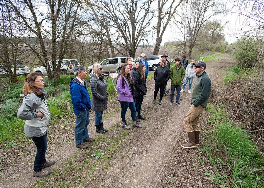
The Oneto-Denier Floodplain Restoration Project is part of the Cosumnes River Preserve. On March 20, 2019, members of the California Water Commission, along with Commission staff and staff from the California Department of Fish and Wildlife, took a field trip to the floodplain. There, Jeffres led them around the preserve, showing where large sections of levees were strategically removed in 2014 to allow floodwaters to fill certain sections of the property.
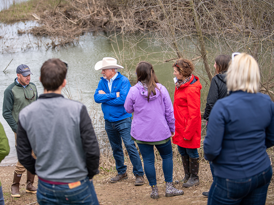
“Our visit to the Oneto-Denier Floodplain Restoration Project gave us a great deal of insight into the dynamics of streams flowing into floodplains,” said California Water Commissioner Joe Del Bosque. “I was surprised how much of the Cosumnes River’s water infiltrates into the ground at an incredibly high rate.”
Restoration efforts over the years have included planting native grasses and trees while removing harmful plant species. The Swainson’s hawk and fall-run Chinook salmon are just two examples of wildlife that take advantage of the 50,000-acre preserve.
“It’s not a static project; we monitor everything,” Jeffres said. “Breach configurations, how the topography changes over time. Are all the things we predicted happening? We are constantly quantifying the evolution of the process.”
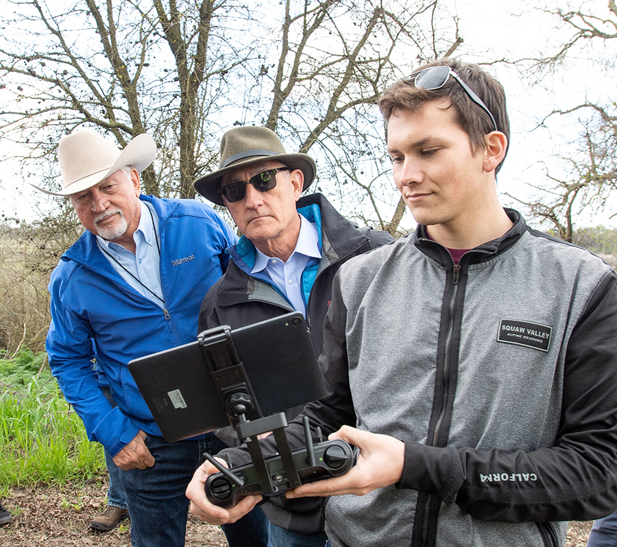
The Cosumnes River Preserve is owned by seven land-owning partners: The Nature Conservancy, Bureau of Land Management, California Department of Fish & Wildlife, Sacramento County Regional Parks, Department of Water Resources, Ducks Unlimited, and the California State Lands Commission. The Natural Resources Conservation Service funded the project with $2.2 million from the American Recovery and Reinvestment Act of 2009. A decade later, the restoration process continues.
“Seeing the work being done by UC researchers provided several important insights about flood-managed aquifer recharge strategies for the California Water Commissioners,” said Commission Chair Armando Quintero. “Groundwater recharge solutions represent one key to California's water future.”
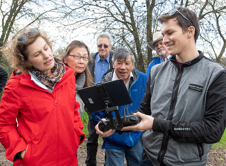
For a bird’s-eye view of the Oneto-Denier Floodplain Restoration Project, watch the drone video.
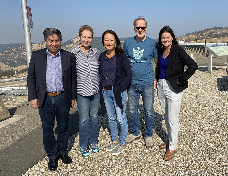
California Water Commissioners, from left, Jose Solorio, Vice-chair Fern Steiner, Sandi Matsumoto, Danny Curtin, and Kim Gallagher, on the Oroville Dam.
Water Commission holds public meeting on top of Oroville Dam
On Wednesday, September 20, 2023, the California Water Commission started its monthly meeting on top of the Oroville Dam. Hosted by the Department of Water Resource (DWR), State Water Project Operating Officer Tony Meyers, and Oroville Field Division Engineering Branch Manager Scott Turnquist educated Commission members, staff, and the public on the dam’s function and history, went over the operations of the spillway, and described the current cosmetic work being done as proactive maintenance.
At 770 feet, the Oroville Dam is the tallest dam in the United States. It provides water storage, hydroelectric power, flood control, and recreational benefits. Since March 2023, 2.4 million acre-feet of water have been released over the spillway.
“It was fantastic seeing the vast amount of water still held in Lake Oroville for the 27 million people and thousands of acres of farmland that depend on it,” said Commissioner Kim Gallagher. “It was reassuring to see the maintenance work being done to keep the spillway safe for releases, and to prepare for warmer and wetter seasons. I’m optimistic we will continue to improve the management of Oroville through Forecast Informed Reservoir Operations, which will utilize strong science to administer releases in a changing climate.”
The Commission also visited the Feather River Fish Hatchery, where DWR Environmental Program Manager Jason Kindopp, and Senior Environmental Scientist Sabrina Bell, explained how the hatchery benefits Central Valley Steelhead and spring- and fall-run Chinook Salmon, by mitigating the effects of the dam and associated facilities.
The hatchery also produces fall-run Chinook salmon for the Commercial Salmon Trollers Enhancement and Restoration Program and the Lake Oroville Inland Fishery, and collects eggs for the statewide Inland Chinook salmon program.
“Seeing salmon returning to spawn is always a welcome sight,” Gallagher said. “It was encouraging to see recovery efforts for salmon that include all aspects of their life cycle, from gravel installation in spawning grounds to treating adults returning to spawn for thiamine deficiency. Knowing these research projects are happening at the Feather River Fish Hatchery is wonderful.”
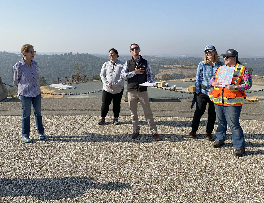 |
| From left, California Water Commission Vice-chair Fern Steiner, Environmental Relicensing Coordinator Lisa Lee, Department of Water Resources Engineering Branch Manager Scott Turnquist, Senior Environmental Scientist and Specialist, Sabrina Bell, and SWP Technical Advisor Annie Wagner on the Oroville Damn during the September meeting of the California Water Commission. |
|
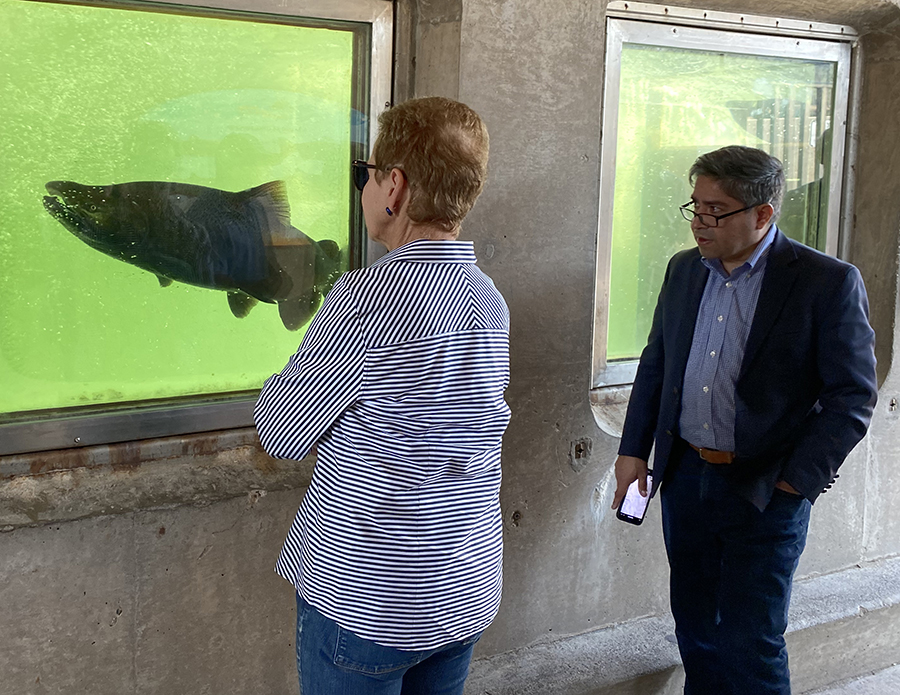 |
| Vice-chair Fern Steiner and Commissioner Jose Solorio at the Feather River Fish Hatchery. |
 |
| Commissioner Danny Curtin on the viewing platform at the Feather River Fish Hatchery. |
 |
| Commissioner Jose Solorio on the viewing platform at the Feather River Fish Hatchery. |
Functional flooding - Water Commission holds meeting in Kerman, tours nearby recharge site
With California’s susceptibility to drought, it’s no secret that smart water management is vital to the state’s future. The Sustainable Groundwater Management Act (SGMA), introduced in 2014, took a major step toward halting the overdraft of groundwater basins. Then, in 2018, the Department of Water Resources (DWR) introduced Flood-Managed Aquifer Recharge—or Flood-MAR—a voluntary program in which landowners purposely divert floodwaters onto agricultural farmland.
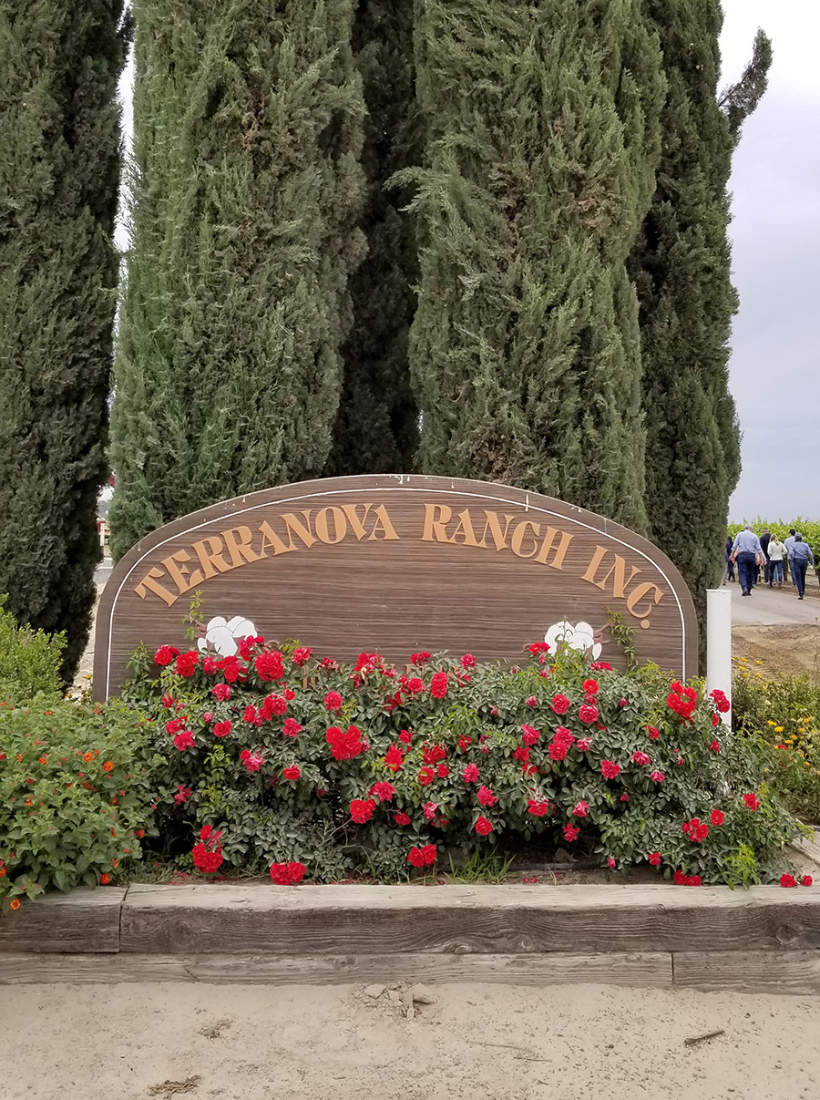
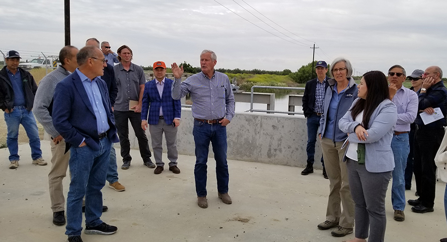
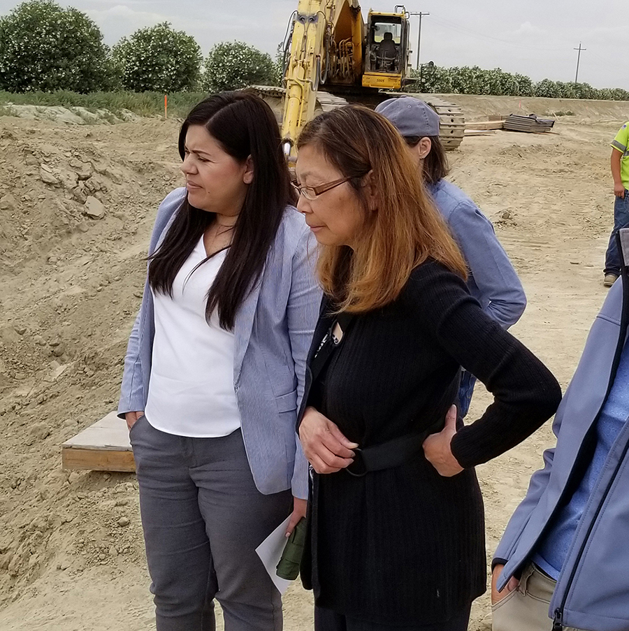
Flood-MAR serves more than one purpose. You reduce the risk of potential flood damage and you help replenish the underground aquifer. There’s also the ecosystem enhancement that results in many instances. On May 15, 2019, members of the California Water Commission, along with Commission staff, DWR staff, and a handful of local farmers, environmentalists and water industry representatives, took a field trip to Terranova Ranch to get a first-hand look at their On-Farm Flood Capture and Recharge Project.
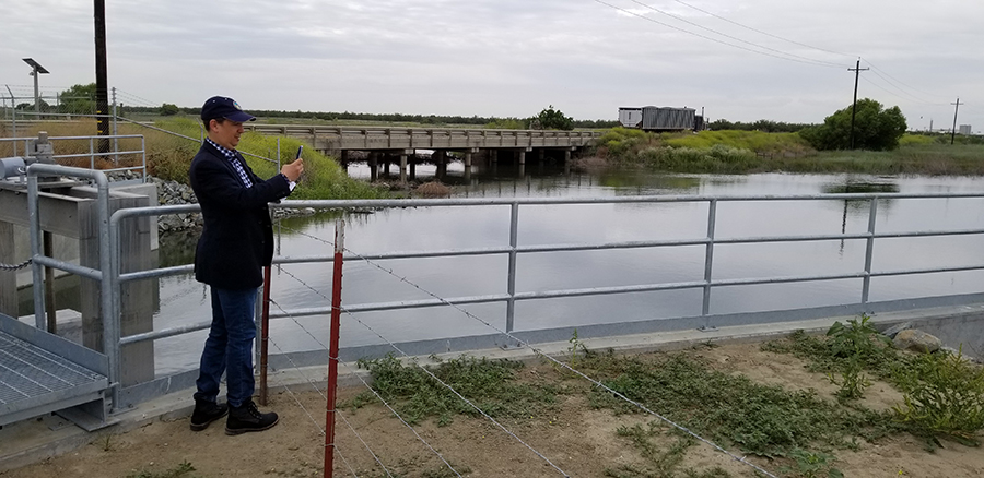
“Seeing the Terranova Project was more than exciting,” said California Water Commission Chair Armando Quintero. “This represents one groundwater recharge project model which will advance the goals of SGMA. It was valuable to understand the hurdles, experiences and successes of this project.”
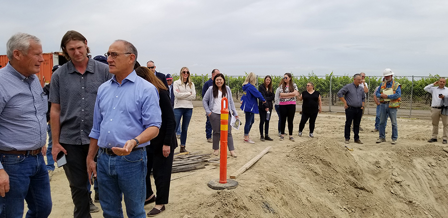
Located in Helm, Calif., about 30 miles southwest of Fresno, Terranova Ranch produces a variety of vegetables, fruits and nuts, as well as wine grapes. Ranch manager Don Cameron, who for the past 25 years has been looking for sustainable ways to recharge the aquifer—the farm’s main source of irrigation—began flooding cultivated fields in 2011.
“I first started flooding wine grapes over an extended period (five months); and alfalfa hay and open fields prior to planting in the spring,” Cameron said. “We added almonds, pistachios and olives to the program in 2017 and flooded for extended periods from February to July. In one vineyard, we recharged 13 acre-feet of water per acre during one flood period in 2017.”
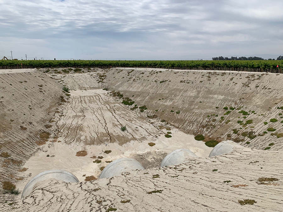
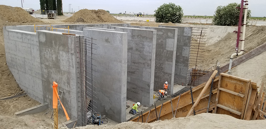
Construction is currently underway on phase one of the McMullin On-Farm Flood Capture and Recharge Project, a public/private partnership in which floodwater from the Kings River will be diverted into a canal system that includes four 450-horsepower pumps capable of pumping a total of 500 cubic feet per second into canals going both north and east. The canal will run a total of 1.5 miles and will be connected in the future to additional phases of the project.
“Terranova is a story of innovation and foresight—creating a water management project that achieves two very important goals for the region: flood protection and groundwater recharge,” said Commission Vice-Chair Carol Baker. “This project is an excellent example that, with some thinking outside the box and patience, it’s possible to develop a project with multiple water management benefits.”
Phase one encompasses 5,500-plus acres at Terranova Ranch and a 2,570-acre easement owned by Kings River Conservation District. They hope to capture 7,500 acre-feet per month of flood flows from Kings River when available, with future goals of 30,000 acre-feet per month and an expected recharge rate of three to four inches a day.
“The project exemplifies the opportunities that exist for local farmers to develop innovative projects that address critical groundwater challenges and provide benefits for rural communities,” said Commissioner Maria Herrera.
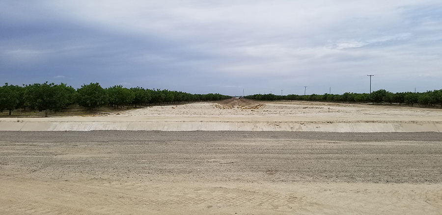
Also taking part in the Terranova Ranch tour was Kamyar Guivetchi, manager of DWR’s Division of Statewide Integrated Water Management, which oversees the Flood-MAR program.
“I consider Don Cameron the Godfather of Flood-MAR,” Guivetchi said. “He has been practicing this strategy for years.”
None of this happens overnight, nor does it come without significant cost. In 2012 the Kings River Conservation District was awarded a $5 million grant from DWR to begin the infrastructure that would carry floodwaters to farms in the area. Terranova Ranch will put $9.5 million toward the project, $2 million of which came in the form of an easement grant from DWR. They will be reimbursed some as Phases 2 and 3 come to connect.
“In the long run, it will cost less if we do the heavy lifting now rather than piecemealing later, Cameron said. “We believe that this is the solution to keep as much of the San Joaquin Valley in production and long term sustainable.”
Higher quality water that improves the soil, flood benefit for downstream communities, aquifer recharge for long term water resilience... “A real win-win for everyone,” Cameron said.
